2005
TL0000 : Hockley Farm residential conversion Near Ley Hill
taken 19 years ago, near to Flaunden, Hertfordshire, England
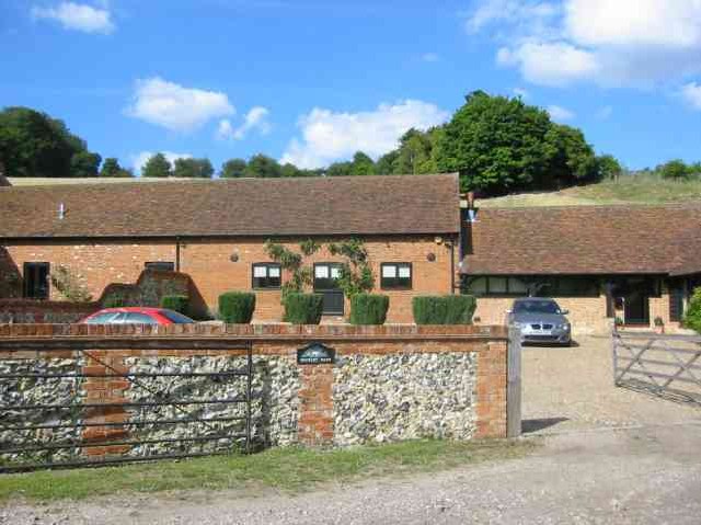
Hockley Farm residential conversion Near Ley Hill
What an interesting map location to have.
 Map © Crown Copyright")
TIP: Click the map for more Large scale mapping
- Grid Square
- TL0000, 18 images (more nearby 🔍)
- Photographer
- Jack Hill (more nearby)
- Date Taken
- Friday, 15 July, 2005 (more nearby)
- Submitted
- Sunday, 17 July, 2005
- Subject Location
-
OSGB36:
 TL 000 009 [100m precision]
WGS84: 51:41.8769N 0:33.2683W