2012
TQ5063 : Firmingers Road at the junction of Rock Hill
taken 12 years ago, near to Well Hill, Kent, England
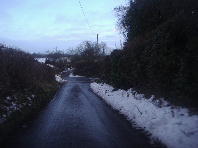
Firmingers Road at the junction of Rock Hill
 Map © Crown Copyright")
TIP: Click the map for more Large scale mapping
- Grid Square
- TQ5063, 78 images (more nearby 🔍)
- Photographer
- David Howard (more nearby)
- Date Taken
- Sunday, 12 February, 2012 (more nearby)
- Submitted
- Sunday, 12 February, 2012
- Subject Location
-
OSGB36:
 TQ 5009 6382 [10m precision]
WGS84: 51:21.2182N 0:9.2428E - Camera Location
-
OSGB36: TQ 5009 6384
- View Direction
- SOUTH (about 180 degrees)