2012
NX3561 : Farmland near Low Glasnick
taken 12 years ago, near to Shennanton, Dumfries And Galloway, Scotland
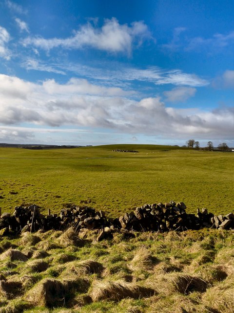
Farmland near Low Glasnick
View over land near the farm currently used for sheep, towards Millgrane Hill on the horizon.
 Map © Crown Copyright")
TIP: Click the map for more Large scale mapping
- Grid Square
- NX3561, 22 images (more nearby 🔍)
- Photographer
- Andy Farrington (more nearby)
- Date Taken
- Wednesday, 15 February, 2012 (more nearby)
- Submitted
- Wednesday, 15 February, 2012
- Subject Location
-
OSGB36:
 NX 3510 6165 [10m precision]
WGS84: 54:55.3336N 4:34.4762W - Camera Location
-
OSGB36: NX 3536 6178
- View Direction
- West-southwest (about 247 degrees)