2012
NX3357 : Track to Gass
taken 12 years ago, 3 km from Spittal, Dumfries And Galloway, Scotland
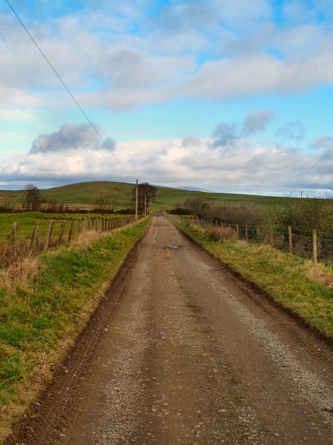
Track to Gass
View along to the main road which runs between Spittal and High Mindork with Doon Hill on the horizon.
 Map © Crown Copyright")
TIP: Click the map for more Large scale mapping
- Grid Square
- NX3357, 7 images (more nearby 🔍)
- Photographer
- Andy Farrington (more nearby)
- Date Taken
- Wednesday, 15 February, 2012 (more nearby)
- Submitted
- Thursday, 16 February, 2012
- Subject Location
-
OSGB36:
 NX 3387 5798 [10m precision]
WGS84: 54:53.3323N 4:35.4993W - Camera Location
-
OSGB36: NX 33846 57967
- View Direction
- East-northeast (about 67 degrees)