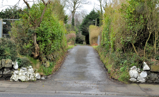
J3784 : Lane, Jordanstown/Greenisland
taken 12 years ago, near to Greenisland, Co Antrim, Northern Ireland
On 14 February 2012 the Regional Development Minister announced the timing of the rebuilding of the 1½ miles of the Belfast - Carrickfergus road between Jordanstown and Greenisland (Seapark). This is the last stage in the 5¼ miles between the end of the M5 at Rushpark and the roundabout at Carrickfergus harbour. The first was the construction of the road from Seapark/Trooperslane to Carrickfergus J3986 : "End of dual carriageway" sign, Trooperslane, Carrickfergus in the mid-1960s. The second was the opening of the M2 foreshore section J3477 : The M2 at Fortwilliam in 1973. The third being the M5 J3580 : Building the M5, near Rushpark, Whiteabbey from Greencastle to Rushpark and the dual carriageway/four-lane stretch from Rushpark to Jordanstown J3581 : Building the M5 near Rushpark, Whiteabbey (3) in 1980.
The new road will be a dual carriageway on the line of the existing road except for a new off-line section to the west/north west of the Station Road/Shore Road junction at Greenisland.
According to the official press release The A2 project will widen 2.4km of the single carriageway, between Jordanstown and Seapark, and improve safety for pedestrians with the provision of new footpaths. Identified in the Belfast Metropolitan Transport Plan, the new dual carriageway will alleviate congestion for the 35,000 motorists who travel between East Antrim and Belfast every day. Danny Kennedy added: Subject to the outcome of the public inquiries that were held last summer, construction work may begin on the A8 as early as this spring, with the A5 works starting in early autumn. A procurement competition will be initiated for the A2 Shore Road project, which should see work commencing early in 2013.
The photographs submitted by me appear as a matter of neutral geographical and historical record only. I have no connection with the Roads Service or any campaign for or against the proposal. The captions and photographs are based on my interpretation of the scheme and might not always be accurate.
- Grid Square
- J3784, 115 images (more nearby 🔍)
- Photographer
- Albert Bridge (more nearby)
- Date Taken
- Thursday, 16 February, 2012 (more nearby)
- Submitted
- Saturday, 18 February, 2012
- Subject Location
-
Irish:
 J 372 842 [100m precision]
WGS84: 54:41.2400N 5:52.3192W - Camera Location
-
Irish: J 372 842
- View Direction
- Northwest (about 315 degrees)