2012
TQ8209 : Groyne wall
taken 12 years ago, near to Hastings, East Sussex, England
This is 1 of 2 images, with title Groyne wall in this square
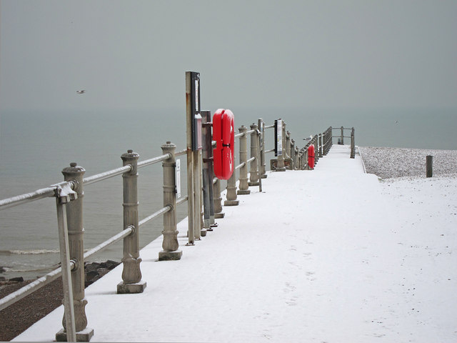
Groyne wall
At the end of Harbour Beach and Rock-A-Nore car park.
See other images of Hastings in Snow
 Map © Crown Copyright")
TIP: Click the map for more Large scale mapping
- Grid Square
- TQ8209, 4355 images (more nearby 🔍)
- Photographer
- Oast House Archive (more nearby)
- Date Taken
- Sunday, 12 February, 2012 (more nearby)
- Submitted
- Monday, 20 February, 2012
- Subject Location
-
OSGB36:
 TQ 828 094 [100m precision]
WGS84: 50:51.3171N 0:35.8236E - Camera Location
-
OSGB36: TQ 828 094
- View Direction
- SOUTH (about 180 degrees)