2012
SK2867 : Path to the east of Hell Bank Plantation
taken 12 years ago, near to Beeley, Derbyshire, England
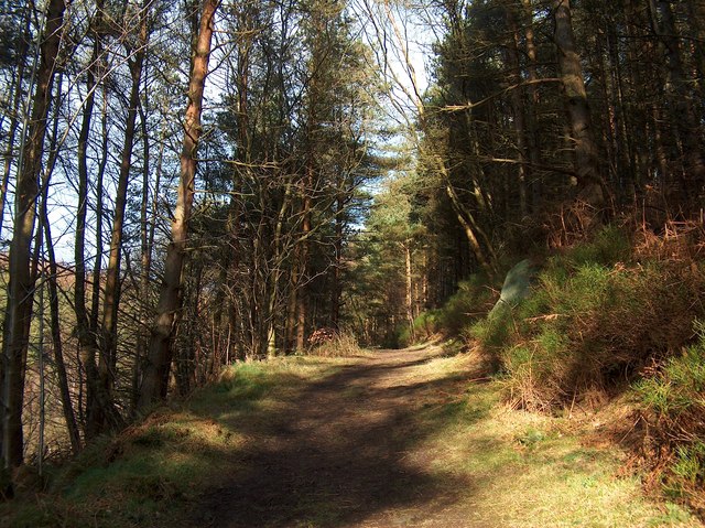
Path to the east of Hell Bank Plantation
 Map © Crown Copyright")
TIP: Click the map for more Large scale mapping
- Grid Square
- SK2867, 20 images (more nearby 🔍)
- Photographer
- Neil Theasby (more nearby)
- Date Taken
- Friday, 24 February, 2012 (more nearby)
- Submitted
- Friday, 24 February, 2012
- Subject Location
-
OSGB36:
 SK 2847 6796 [10m precision]
WGS84: 53:12.4770N 1:34.5115W - Camera Location
-
OSGB36: SK 2844 6793
- View Direction
- Northeast (about 45 degrees)