2012
ST7785 : Highfield Lane
taken 12 years ago, near to Horton, South Gloucestershire, England
This is 1 of 2 images, with title Highfield Lane in this square
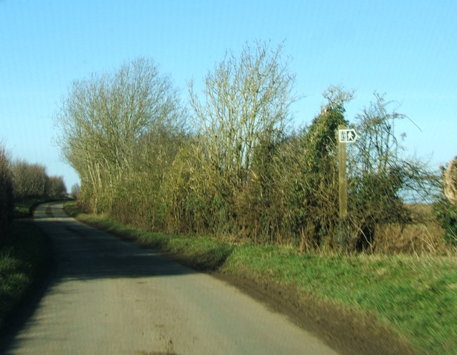
Highfield Lane
Highfield Lane where a public footpath leaves it heading east towards Petty France.
 Map © Crown Copyright")
TIP: Click the map for more Large scale mapping
- Grid Square
- ST7785, 36 images (more nearby 🔍)
- Photographer
- Ruth Riddle (more nearby)
- Date Taken
- Saturday, 25 February, 2012 (more nearby)
- Submitted
- Thursday, 1 March, 2012
- Subject Location
-
OSGB36:
 ST 7724 8516 [10m precision]
WGS84: 51:33.8911N 2:19.7847W - Camera Location
-
OSGB36: ST 7724 8514
- View Direction
- North-northeast (about 22 degrees)