2012
TF0449 : A15 towards Lincoln
taken 12 years ago, near to Leasingham, Lincolnshire, England
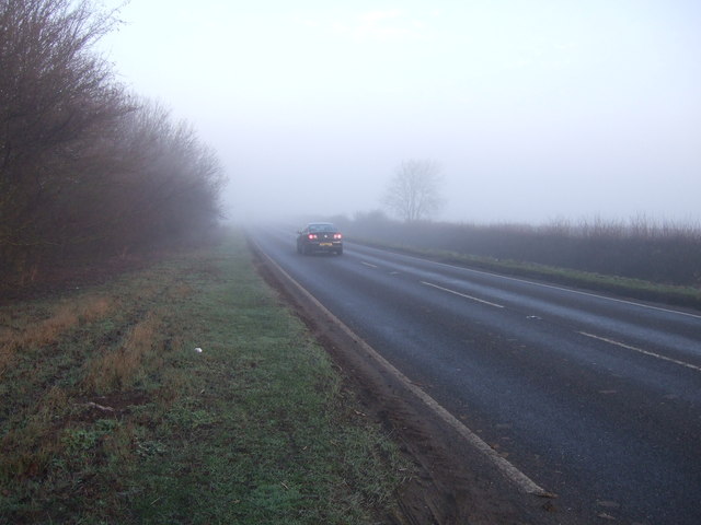
A15 towards Lincoln
The A15 is the main north-south road in Lincolnshire, running the entire length of the county for almost 100 miles between Hessle, near Kingston upon Hull, and Peterborough via Lincoln, Sleaford and Bourne. It is also the road that crosses the Humber Bridge.
See other images of The A15
See other images of The A15
 Map © Crown Copyright")
TIP: Click the map for more Large scale mapping
- Grid Square
- TF0449, 6 images (more nearby 🔍)
- Photographer
- JThomas (more nearby)
- Date Taken
- Thursday, 1 March, 2012 (more nearby)
- Submitted
- Friday, 2 March, 2012
- Subject Location
-
OSGB36:
 TF 0483 4958 [10m precision]
WGS84: 53:1.9943N 0:26.2913W - Camera Location
-
OSGB36: TF 04850 49554
- View Direction
- Northwest (about 315 degrees)