2012
SX3683 : Approaching Carzantic
taken 12 years ago, near to Lawhitton, Cornwall, England
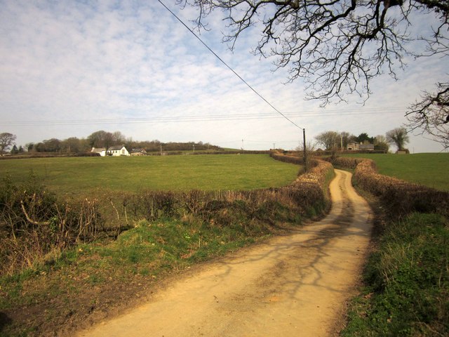
Approaching Carzantic
Taken from the dip shown in SX3683 : Lane to Carzantic, looking up the sinuous lane to the farms at Carzantic.
 Map © Crown Copyright")
TIP: Click the map for more Large scale mapping
- Grid Square
- SX3683, 12 images (more nearby 🔍)
- Photographer
- Derek Harper (more nearby)
- Date Taken
- Friday, 2 March, 2012 (more nearby)
- Submitted
- Tuesday, 6 March, 2012
- Subject Location
-
OSGB36:
 SX 363 832 [100m precision]
WGS84: 50:37.5278N 4:18.9452W - Camera Location
-
OSGB36: SX 3631 8309
- View Direction
- North-northeast (about 22 degrees)