2012
SJ9572 : Hardingland and Ashtreetop
taken 12 years ago, near to Langley, Cheshire East, England
This is 1 of 2 images, with title starting with Hardingland in this square
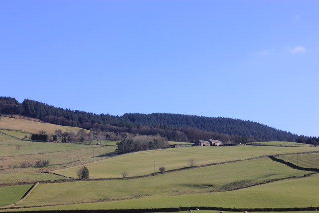
Hardingland and Ashtreetop
Ashtreetop peers out of its surrounding copse to the left and behind Hardingland.
 Map © Crown Copyright")
TIP: Click the map for more Large scale mapping
- Grid Square
- SJ9572, 45 images (more nearby 🔍)
- Photographer
- Peter Turner (more nearby)
- Date Taken
- Tuesday, 6 March, 2012 (more nearby)
- Submitted
- Friday, 9 March, 2012
- Subject Location
-
OSGB36:
 SJ 9572 7263 [10m precision]
WGS84: 53:15.0399N 2:3.9363W - Camera Location
-
OSGB36: SJ 9507 7245
- View Direction
- East-northeast (about 67 degrees)