2006
NS8939 : Flooding Near Crookboat
taken 17 years ago, 3 km from Carmichael, South Lanarkshire, Scotland
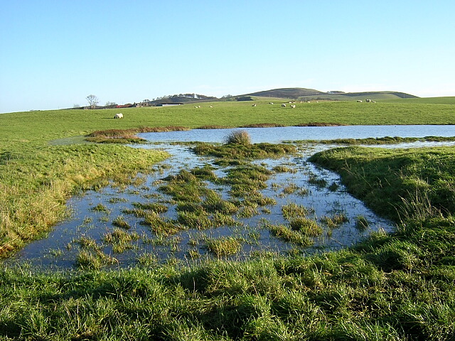
Flooding Near Crookboat
 Map © Crown Copyright")
TIP: Click the map for more Large scale mapping
- Grid Square
- NS8939, 13 images (more nearby 🔍)
- Photographer
- Iain Thompson (more nearby)
- Date Taken
- Friday, 24 November, 2006 (more nearby)
- Submitted
- Saturday, 25 November, 2006
- Subject Location
-
OSGB36:
 NS 899 392 [100m precision]
WGS84: 55:38.0312N 3:45.0267W - View Direction
- Northeast (about 45 degrees)