2006
SZ4598 : Dark Water, Lepe Country Park
taken 17 years ago, near to Lepe, Hampshire, England
This is 1 of 2 images, with title Dark Water, Lepe Country Park in this square
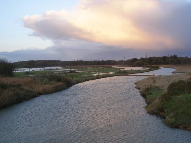
Dark Water, Lepe Country Park
Looking upstream from the road bridge at Lepe, the surface of Dark Water is rippled by the strong south-westerly winds. The chimney of Calshot power station is visible towards the right in the distance. The water level is very high due to the high tide and winds.
 Map © Crown Copyright")
TIP: Click the map for more Large scale mapping
- Grid Square
- SZ4598, 204 images (more nearby 🔍)
- Photographer
- Jim Champion (more nearby)
- Date Taken
- Saturday, 25 November, 2006 (more nearby)
- Submitted
- Saturday, 25 November, 2006
- Subject Location
-
OSGB36:
 SZ 452 985 [100m precision]
WGS84: 50:47.0591N 1:21.6118W - Camera Location
-
OSGB36: SZ 4526 9852
- View Direction
- North-northeast (about 22 degrees)