2005
SU5759 : Farmland near Baughurst
taken 19 years ago, near to Browninghill Green, Hampshire, England
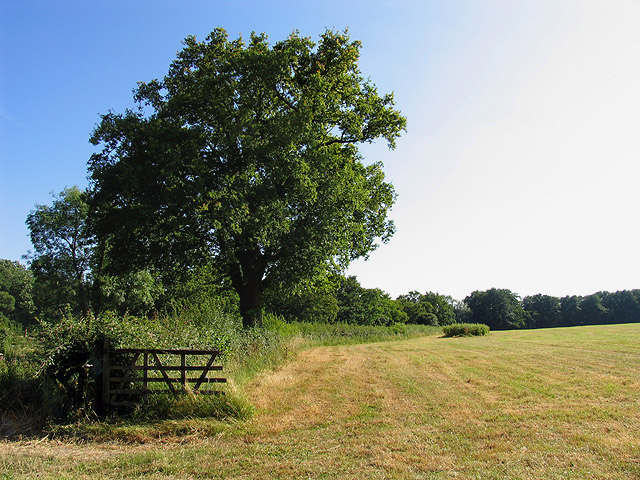
Farmland near Baughurst
This square is largely farmland and a network of minor roads. This view was taken near the footpath, at the intersection in the adjacent square. The view looks southeast along the road.
 Map © Crown Copyright")
TIP: Click the map for more Large scale mapping
- Grid Square
- SU5759, 15 images (more nearby 🔍)
- Photographer
- Pam Brophy (more nearby)
- Date Taken
- Saturday, 16 July, 2005 (more nearby)
- Submitted
- Monday, 18 July, 2005
- Subject Location
-
OSGB36:
 SU 57 59 [1000m precision]
WGS84: 51:19.9018N 1:10.5637W