2012
NR8786 : Ruins at Dunmore
taken 12 years ago, near to Castleton, Argyll And Bute, Scotland
This is 1 of 5 images, with title Ruins at Dunmore in this square
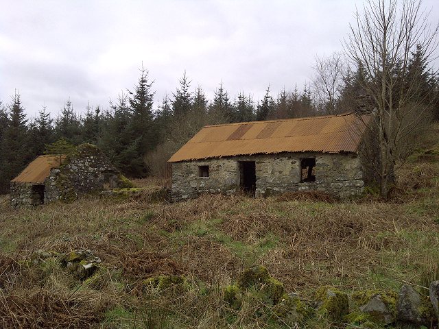
Ruins at Dunmore
A view from the south-east.
 Map © Crown Copyright")
TIP: Click the map for more Large scale mapping
- Grid Square
- NR8786, 49 images (more nearby 🔍)
- Photographer
- Patrick Mackie (more nearby)
- Date Taken
- Tuesday, 13 March, 2012 (more nearby)
- Submitted
- Tuesday, 13 March, 2012
- Subject Location
-
OSGB36:
 NR 8772 8647 [10m precision]
WGS84: 56:1.4381N 5:24.4812W - Camera Location
-
OSGB36: NR 8773 8647
- View Direction
- West-northwest (about 292 degrees)