2012
SJ1367 : Offa's Dyke Path on Penycloddiau
taken 12 years ago, near to Llangwyfan, Denbighshire/Sir Ddinbych, Wales
This is 1 of 10 images, with title starting with Offa's Dyke in this square
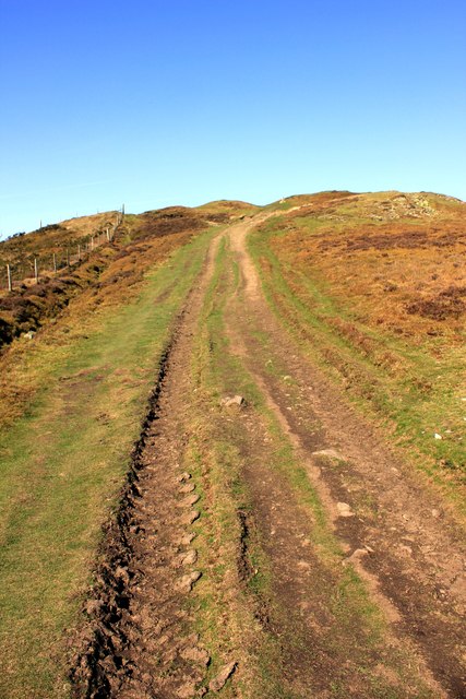
Offa's Dyke Path on Penycloddiau
Penycloddiau (Welsh for "hill of the trenches") is the northernmost marilyn in the Clwydian Range. Offa's Dyke Path crosses the summit, and the Clwydian Way skirts the western slopes. Like Foel Fenlli further south, Penycloddiau has an iron-age hill fort around the summit area. At 26 hectares (64 acres), it is one of the largest hill forts in Wales.
 Map © Crown Copyright")
TIP: Click the map for more Large scale mapping
- Grid Square
- SJ1367, 38 images (more nearby 🔍)
- Photographer
- Jeff Buck (more nearby)
- Date Taken
- Wednesday, 14 March, 2012 (more nearby)
- Submitted
- Thursday, 15 March, 2012
- Subject Location
-
OSGB36:
 SJ 1312 6720 [10m precision]
WGS84: 53:11.6856N 3:18.1136W - Camera Location
-
OSGB36: SJ 1313 6719
- View Direction
- North-northwest (about 337 degrees)