2012
SK1374 : Path through Monk's Dale
taken 12 years ago, near to Millers Dale, Derbyshire, England
This is 1 of 2 images, with title Path through Monk's Dale in this square
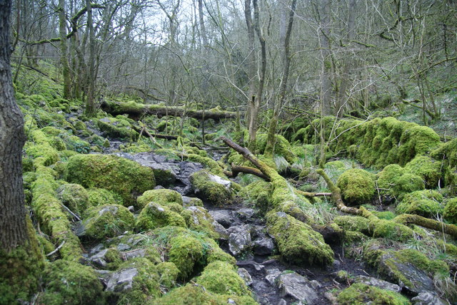
Path through Monk's Dale
This is not an easy path. There are continual limestone rocks covered by a film of slippery mud, and it is necessary to concentrate on every footstep.
 Map © Crown Copyright")
TIP: Click the map for more Large scale mapping
- Grid Square
- SK1374, 37 images (more nearby 🔍)
- Photographer
- Bill Boaden (more nearby)
- Date Taken
- Saturday, 10 March, 2012 (more nearby)
- Submitted
- Thursday, 15 March, 2012
- Subject Location
-
OSGB36:
 SK 1347 7447 [10m precision]
WGS84: 53:16.0233N 1:47.9702W - Camera Location
-
OSGB36: SK 1347 7450
- View Direction
- South-southeast (about 157 degrees)