2012
SW9958 : Road to Hensbarrow Downs
taken 12 years ago, near to Roche, Cornwall, England
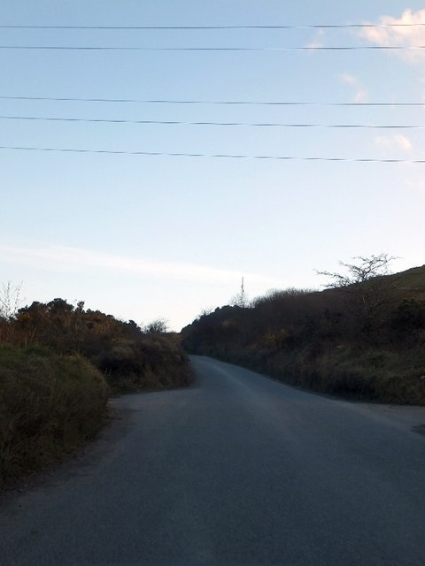
Road to Hensbarrow Downs
One of the east-west sets of cables for the National Grid crosses the road here, at Higher Trezaise.
 Map © Crown Copyright")
TIP: Click the map for more Large scale mapping
- Grid Square
- SW9958, 12 images (more nearby 🔍)
- Photographer
- David Smith (more nearby)
- Date Taken
- Wednesday, 7 March, 2012 (more nearby)
- Submitted
- Saturday, 17 March, 2012
- Subject Location
-
OSGB36:
 SW 9919 5847 [10m precision]
WGS84: 50:23.5041N 4:49.5894W - Camera Location
-
OSGB36: SW 9919 5851
- View Direction
- SOUTH (about 180 degrees)