2012
SE0696 : Once an industrial route, now a leisure path
taken 12 years ago, 3 km from Marrick, North Yorkshire, England
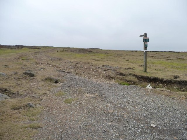
Once an industrial route, now a leisure path
Footpath through disused lead workings, leading to High Moss.
 Map © Crown Copyright")
TIP: Click the map for more Large scale mapping
- Grid Square
- SE0696, 16 images (more nearby 🔍)
- Photographer
- Christine Johnstone (more nearby)
- Date Taken
- Friday, 16 March, 2012 (more nearby)
- Submitted
- Thursday, 22 March, 2012
- Subject Location
-
OSGB36:
 SE 0604 9608 [10m precision]
WGS84: 54:21.6127N 1:54.5136W - Camera Location
-
OSGB36: SE 0605 9610
- View Direction
- Southwest (about 225 degrees)