2012
SO7988 : Farm track north of Six Ashes, Staffordshire
taken 12 years ago, near to Six Ashes, Shropshire, England
This is 1 of 2 images, with title Farm track north of Six Ashes, Staffordshire in this square
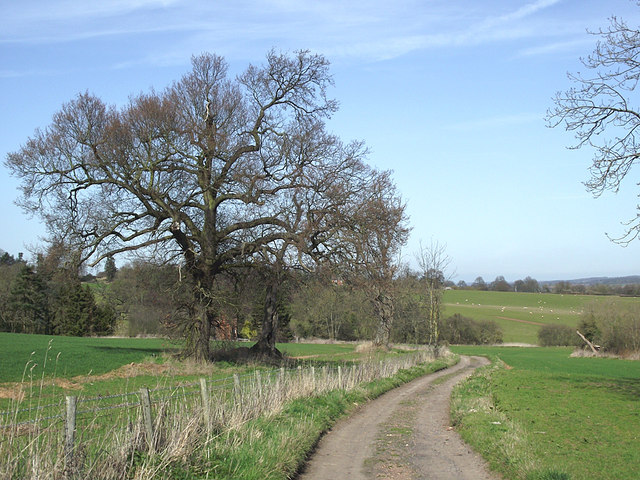
Farm track north of Six Ashes, Staffordshire
The route is also a public footpath across fields, just inside the Shropshire boundary, to Gatacre Park.
 Map © Crown Copyright")
TIP: Click the map for more Large scale mapping
- Grid Square
- SO7988, 30 images (more nearby 🔍)
- Photographer
- Roger D Kidd (more nearby)
- Date Taken
- Sunday, 25 March, 2012 (more nearby)
- Submitted
- Monday, 26 March, 2012
- Subject Location
-
OSGB36:
 SO 791 888 [100m precision]
WGS84: 52:29.8270N 2:18.5066W - Camera Location
-
OSGB36: SO 791 887
- View Direction
- NORTH (about 0 degrees)