2012
SK1868 : Lane in Kirk Dale
taken 12 years ago, near to Sheldon, Derbyshire, England
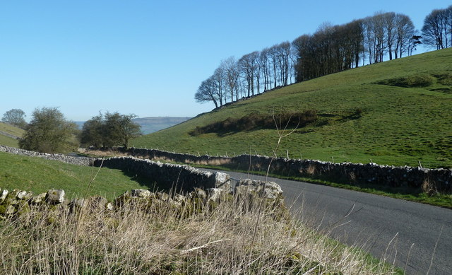
Lane in Kirk Dale
View from the start of Truebell Lane, a track leading towards Magpie Mine or Sheldon.
 Map © Crown Copyright")
TIP: Click the map for more Large scale mapping
- Grid Square
- SK1868, 28 images (more nearby 🔍)
- Photographer
- Andrew Hill (more nearby)
- Date Taken
- Tuesday, 27 March, 2012 (more nearby)
- Submitted
- Wednesday, 28 March, 2012
- Subject Location
-
OSGB36:
 SK 1809 6806 [10m precision]
WGS84: 53:12.5581N 1:43.8358W - Camera Location
-
OSGB36: SK 1808 6803
- View Direction
- North-northeast (about 22 degrees)