2012
SK1779 : B6049 near Hazlebadge Hall
taken 12 years ago, near to Coplow Dale, Derbyshire, England
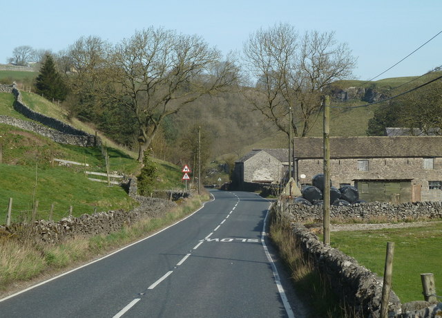
B6049 near Hazlebadge Hall
The road soon enters the narrow confines of Bradwell Dale en route to the village.
 Map © Crown Copyright")
TIP: Click the map for more Large scale mapping
- Grid Square
- SK1779, 18 images (more nearby 🔍)
- Photographer
- Andrew Hill (more nearby)
- Date Taken
- Thursday, 29 March, 2012 (more nearby)
- Submitted
- Friday, 30 March, 2012
- Subject Location
-
OSGB36:
 SK 1714 7992 [10m precision]
WGS84: 53:18.9563N 1:44.6512W - Camera Location
-
OSGB36: SK 1715 7984
- View Direction
- NORTH (about 0 degrees)