2012
SU8351 : Path off Bourley Rd
taken 12 years ago, near to Church Crookham, Hampshire, England
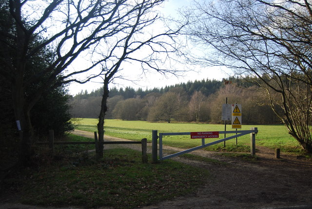
Path off Bourley Rd
Aldershot and Minley Training Areas are located to the west of Aldershot and north west of Farnborough.
The two Training Areas cover an area of approximately 2000 hectares of lowland heathland habitat which supports a wide range of associated fauna and flora. They are made up of a diverse mosaic of heathland, conifer woodland, areas of mature and semi-mature broadleaved woodland, mire, scrub, acid grassland and grass meadows, particularly in the Minley area.
Public access is permitted along all public rights of way within both training areas at all times. Open access is restricted during military exercises.
See other images of Aldershot and Minley Training Areas
 Map © Crown Copyright")
TIP: Click the map for more Large scale mapping
- Grid Square
- SU8351, 23 images (more nearby 🔍)
- Photographer
- N Chadwick (more nearby)
- Date Taken
- Sunday, 15 January, 2012 (more nearby)
- Submitted
- Saturday, 31 March, 2012
- Subject Location
-
OSGB36:
 SU 8303 5104 [10m precision]
WGS84: 51:15.1496N 0:48.6993W - Camera Location
-
OSGB36: SU 8304 5106
- View Direction
- South-southwest (about 202 degrees)