2012
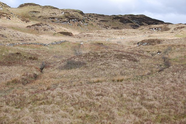
NM8605 : Moorland burns
taken 12 years ago, near to Torran, Argyll And Bute, Scotland
This is 1 of 2 images, with title Moorland burns in this square
Moorland burns
South-east of Sròn na Saobhaidhe.
 Map © Crown Copyright")
TIP: Click the map for more Large scale mapping
- Grid Square
- NM8605, 37 images (more nearby 🔍)
- Photographer
- Patrick Mackie (more nearby)
- Date Taken
- Saturday, 31 March, 2012 (more nearby)
- Submitted
- Saturday, 31 March, 2012
- Subject Location
-
OSGB36:
 NM 8698 0541 [10m precision]
WGS84: 56:11.6102N 5:26.0991W - Camera Location
-
OSGB36: NM 8696 0528
- View Direction
- NORTH (about 0 degrees)