2012
SU6785 : New Hedging down English Lane
taken 12 years ago, near to Nuffield, Oxfordshire, England
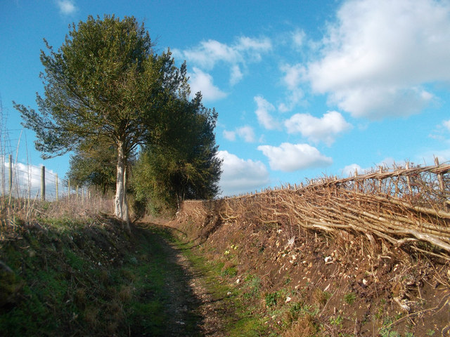
New Hedging down English Lane
South of English Farm, English Lane becomes a track, but one with a good surface of flint pebbles. The hedges have recently been re-laid as you see here.
 Map © Crown Copyright")
TIP: Click the map for more Large scale mapping
- Grid Square
- SU6785, 13 images (more nearby 🔍)
- Photographer
- Des Blenkinsopp (more nearby)
- Date Taken
- Monday, 5 March, 2012 (more nearby)
- Submitted
- Monday, 2 April, 2012
- Subject Location
-
OSGB36:
 SU 6779 8572 [10m precision]
WGS84: 51:33.9774N 1:1.4023W - Camera Location
-
OSGB36: SU 6780 8569
- View Direction
- North-northwest (about 337 degrees)