2012
SJ5055 : View from lower slopes of Burwardsley Hill
taken 12 years ago, near to Harthill, Cheshire West And Chester, England
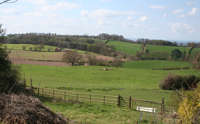
View from lower slopes of Burwardsley Hill
Typical rolling Cheshire farmland, mainly used for cattle pasture. View from by the former Mickerloo Pottery (which closed in winter 2011-2)
 Map © Crown Copyright")
TIP: Click the map for more Large scale mapping
- Grid Square
- SJ5055, 62 images (more nearby 🔍)
- Photographer
- Espresso Addict (more nearby)
- Date Taken
- Sunday, 1 April, 2012 (more nearby)
- Submitted
- Tuesday, 3 April, 2012
- Subject Location
-
OSGB36:
 SJ 505 558 [100m precision]
WGS84: 53:5.8585N 2:44.3611W - Camera Location
-
OSGB36: SJ 506 558
- View Direction
- Northwest (about 315 degrees)