2012
SE0320 : High Field Lane, Soyland
taken 12 years ago, near to Mill Bank, Calderdale, England
This is 1 of 2 images, with title High Field Lane, Soyland in this square
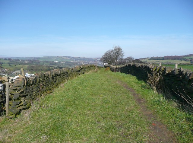
High Field Lane, Soyland
To the north of High Field the lane, which is Ripponden Footpath 53, is a grass track.
 Map © Crown Copyright")
TIP: Click the map for more Large scale mapping
- Grid Square
- SE0320, 75 images (more nearby 🔍)
- Photographer
- Humphrey Bolton (more nearby)
- Date Taken
- Sunday, 11 March, 2012 (more nearby)
- Submitted
- Friday, 6 April, 2012
- Subject Location
-
OSGB36:
 SE 0378 2096 [10m precision]
WGS84: 53:41.1050N 1:56.6546W - Camera Location
-
OSGB36: SE 0376 2094
- View Direction
- Northeast (about 45 degrees)