2012
NR4260 : Allt Craobhach, Islay
taken 12 years ago, near to Glas Bheinn [hill or Mountain], Argyll And Bute, Great Britain
This is 1 of 2 images, with title Allt Craobhach, Islay in this square
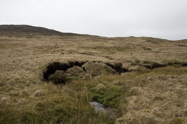
Allt Craobhach, Islay
Allt Craobhach translates from the Gaelic as 'Wooded Burn', although there is little evidence of that now!
 Map © Crown Copyright")
TIP: Click the map for more Large scale mapping
- Grid Square
- NR4260, 7 images (more nearby 🔍)
- Photographer
- Becky Williamson (more nearby)
- Date Taken
- Saturday, 7 April, 2012 (more nearby)
- Submitted
- Sunday, 8 April, 2012
- Subject Location
-
OSGB36:
 NR 4224 6016 [10m precision]
WGS84: 55:45.9539N 6:6.6506W - Camera Location
-
OSGB36: NR 4226 6018
- View Direction
- Southwest (about 225 degrees)