2006
SX7993 : Fields south of Dilly Bridge
taken 17 years ago, near to Tedburn st Mary, Devon, England
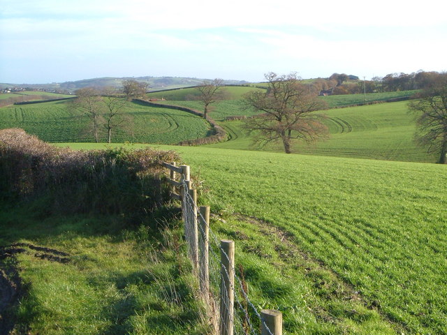
Fields south of Dilly Bridge
Taken from roughly the same spot on Dillybridge Hill as SX7993 : A30 at Dilly Bridge, looking across a small valley towards Little (left) and Great (right) Hackworthy. Part of Tedburn St Mary is at the extreme left.
 Map © Crown Copyright")
TIP: Click the map for more Large scale mapping
- Grid Square
- SX7993, 23 images (more nearby 🔍)
- Photographer
- Derek Harper (more nearby)
- Date Taken
- Saturday, 2 December, 2006 (more nearby)
- Submitted
- Sunday, 3 December, 2006
- Subject Location
-
OSGB36:
 SX 798 931 [100m precision]
WGS84: 50:43.5031N 3:42.2587W - Camera Location
-
OSGB36: SX 7969 9313
- View Direction
- EAST (about 90 degrees)