1999
SU1420 : Charford Downs, north of Breamore
taken 25 years ago, near to Upper Street, Hampshire, England
This is 1 of 3 images, with title Charford Downs, north of Breamore in this square
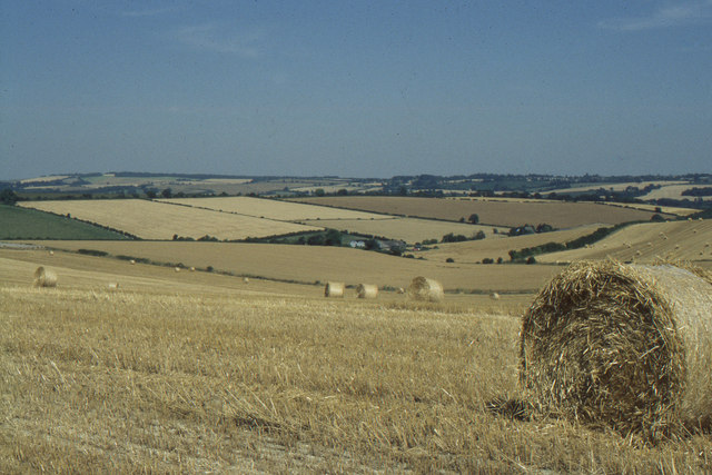
Charford Downs, north of Breamore
 Map © Crown Copyright")
TIP: Click the map for more Large scale mapping
- Grid Square
- SU1420, 30 images (more nearby 🔍)
- Photographer
- Christopher Hilton (more nearby)
- Date Taken
- Tuesday, 27 July, 1999 (more nearby)
- Submitted
- Monday, 9 April, 2012
- Subject Location
-
OSGB36:
 SU 1488 2009 [10m precision]
WGS84: 50:58.8017N 1:47.3648W - Camera Location
-
OSGB36: SU 1449 2000
- View Direction
- East-northeast (about 67 degrees)