2012
NN1037 : Ridge above Glen Kinglass
taken 12 years ago, near to Allt Narrachan [water Feature], Argyll And Bute, Great Britain
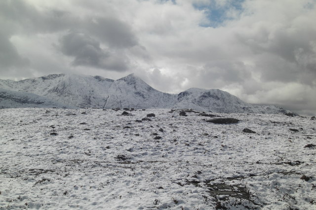
Ridge above Glen Kinglass
South end of ridge above 400 metre contour in moorland above Glen Kinglass. Some exposed rocks are along the ridge.
 Map © Crown Copyright")
TIP: Click the map for more Large scale mapping
- Grid Square
- NN1037, 3 images (more nearby 🔍)
- Photographer
- Roddy Urquhart (more nearby)
- Date Taken
- Tuesday, 10 April, 2012 (more nearby)
- Submitted
- Tuesday, 10 April, 2012
- Subject Location
-
OSGB36:
 NN 101 376 [100m precision]
WGS84: 56:29.5567N 5:5.1670W - Camera Location
-
OSGB36: NN 101 376
- View Direction
- South-southwest (about 202 degrees)