2012
TQ5185 : Woodland, Eastbrookend Country Park
taken 12 years ago, near to Elm Park, Havering, England
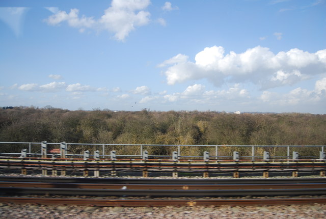
Woodland, Eastbrookend Country Park
The creation of Eastbrookend Country Park started in the 1990s with large scale earth moving to develop an interesting, undulating landscape on what was formerly land filled derelict land.
The landfill was capped with a layer of impermeable clay and topsoil; large scale seeding was undertaken using wild flower grassland mixes that are particularly suited to poor soils and more than 50,000 small trees (whips) were planted across the 84-hectare site.
The park officially opened in 1995 and provides local people with the chance to experience the pleasure of the countryside on their doorstop.
Eastbrookend is available for everyone to enjoy and visitors to the country park can par take in a range of self-lead recreational activities, including angling. There are 4 lakes on the park, 3 of which are available for day-ticket fishing.
See other images of Eastbrookend Country Park
 Map © Crown Copyright")
TIP: Click the map for more Large scale mapping
- Grid Square
- TQ5185, 64 images (more nearby 🔍)
- Photographer
- N Chadwick (more nearby)
- Date Taken
- Saturday, 3 March, 2012 (more nearby)
- Submitted
- Wednesday, 11 April, 2012
- Subject Location
-
OSGB36:
 TQ 5151 8545 [10m precision]
WGS84: 51:32.8564N 0:11.0207E - Camera Location
-
OSGB36: TQ 5152 8539
- View Direction
- North-northwest (about 337 degrees)