2012
SK2457 : Tophill Lane below the farm
taken 12 years ago, near to Grangemill, Derbyshire, England
This is 1 of 4 images, with title starting with Tophill in this square
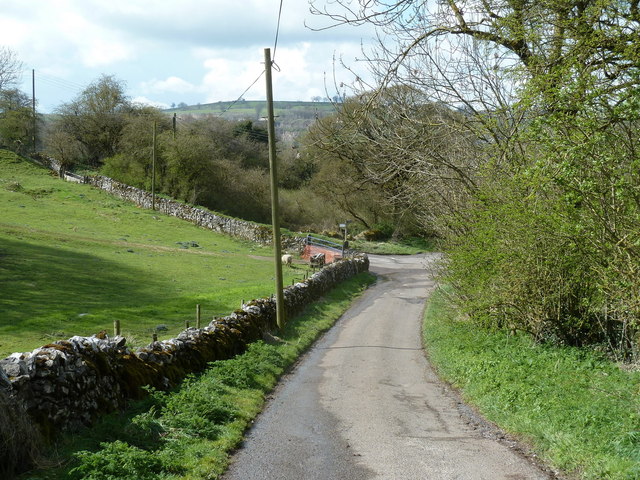
Tophill Lane below the farm
Approaching the left turn for Grange Lane to Ible.
 Map © Crown Copyright")
TIP: Click the map for more Large scale mapping
- Grid Square
- SK2457, 60 images (more nearby 🔍)
- Photographer
- Andrew Hill (more nearby)
- Date Taken
- Wednesday, 11 April, 2012 (more nearby)
- Submitted
- Thursday, 12 April, 2012
- Subject Location
-
OSGB36:
 SK 2464 5775 [10m precision]
WGS84: 53:6.9819N 1:37.9990W - Camera Location
-
OSGB36: SK 2467 5777
- View Direction
- West-southwest (about 247 degrees)