2012
SK2675 : Approaching the White Edge trig point
taken 12 years ago, near to Froggatt, Derbyshire, England
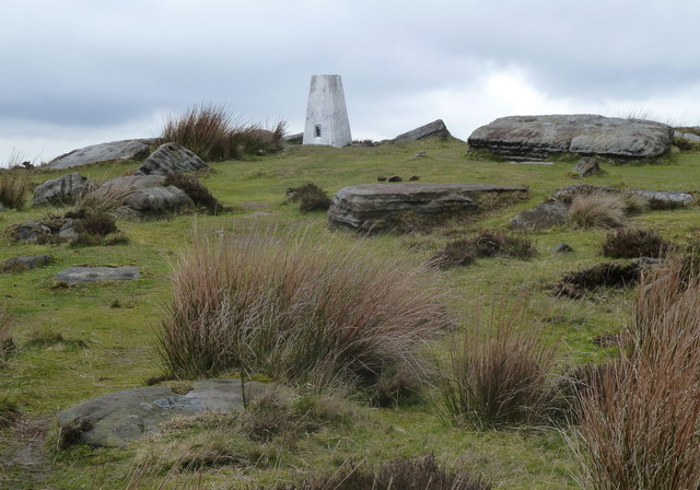
Approaching the White Edge trig point
The summit as seen from the southwest approach.
 Map © Crown Copyright")
TIP: Click the map for more Large scale mapping
- Grid Square
- SK2675, 53 images (more nearby 🔍)
- Photographer
- Andrew Hill (more nearby)
- Date Taken
- Saturday, 14 April, 2012 (more nearby)
- Submitted
- Saturday, 14 April, 2012
- Subject Location
-
OSGB36:
 SK 2636 7583 [10m precision]
WGS84: 53:16.7279N 1:36.3680W - Camera Location
-
OSGB36: SK 2634 7581
- View Direction
- Northeast (about 45 degrees)