2012
NY7961 : River Allen below Staward Peel
taken 12 years ago, 3 km from Beltingham, Northumberland, England
This is 1 of 2 images, with title River Allen below Staward Peel in this square
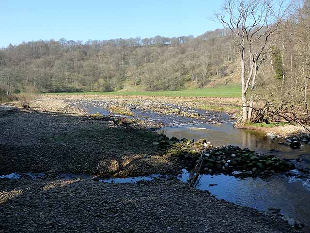
River Allen below Staward Peel
The valley widens briefly at this point; the bed of the river is broad and filled with gravel.
 Map © Crown Copyright")
TIP: Click the map for more Large scale mapping
- Grid Square
- NY7961, 43 images (more nearby 🔍)
- Photographer
- Oliver Dixon (more nearby)
- Date Taken
- Tuesday, 27 March, 2012 (more nearby)
- Submitted
- Monday, 16 April, 2012
- Subject Location
-
OSGB36:
 NY 7971 6103 [10m precision]
WGS84: 54:56.6108N 2:19.0958W - Camera Location
-
OSGB36: NY 79854 61026
- View Direction
- WEST (about 270 degrees)