2012
NZ1657 : Farmland, south side of Derwent Valley
taken 12 years ago, near to Rowlands Gill, Gateshead, England
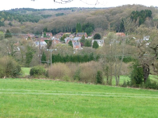
Farmland, south side of Derwent Valley
Seen from the Derwent Walk, a former railway line.
 Map © Crown Copyright")
TIP: Click the map for more Large scale mapping
- Grid Square
- NZ1657, 19 images (more nearby 🔍)
- Photographer
- Christine Johnstone (more nearby)
- Date Taken
- Thursday, 12 April, 2012 (more nearby)
- Submitted
- Wednesday, 18 April, 2012
- Subject Location
-
OSGB36:
 NZ 1606 5764 [10m precision]
WGS84: 54:54.7927N 1:45.0609W - Camera Location
-
OSGB36: NZ 1615 5763
- View Direction
- WEST (about 270 degrees)