2012
NN6307 : Cycletrack Under Bracklin Road
taken 12 years ago, near to Callander, Stirling, Scotland
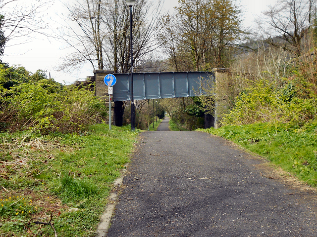
Cycletrack Under Bracklin Road
 Map © Crown Copyright")
TIP: Click the map for more Large scale mapping
- Grid Square
- NN6307, 65 images (more nearby 🔍)
- Photographer
- David Dixon (more nearby)
- Date Taken
- Tuesday, 17 April, 2012 (more nearby)
- Submitted
- Sunday, 22 April, 2012
- Subject Location
-
OSGB36:
 NN 6327 0778 [10m precision]
WGS84: 56:14.5690N 4:12.4742W - Camera Location
-
OSGB36: NN 6329 0777
- View Direction
- Northwest (about 315 degrees)