2005
NT2061 : Scald Law from Carnethy hill
taken 19 years ago, near to Silverburn, Midlothian, Scotland
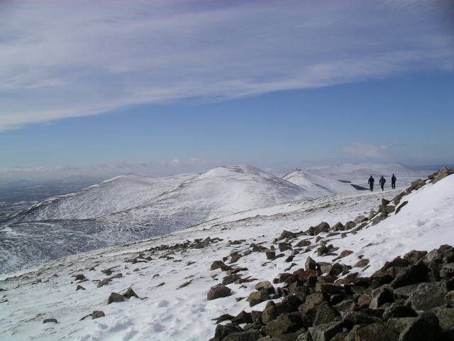
Scald Law from Carnethy hill
Looking south-west from the wind breaks on the top of Carnethy hill (573m) to Scald Law (579m)(centre), and South Black hill to the left (563m) and East Kip to the right (534m).
 Map © Crown Copyright")
TIP: Click the map for more Large scale mapping
- Grid Square
- NT2061, 49 images (more nearby 🔍)
- Photographer
- Graham Ellis (more nearby)
- Date Taken
- Sunday, 6 March, 2005 (more nearby)
- Submitted
- Wednesday, 20 July, 2005
- Subject Location
-
OSGB36:
 NT 203 619 [100m precision]
WGS84: 55:50.6222N 3:16.4606W