2012
TQ7286 : A wet and grey A13
taken 12 years ago, near to Vange, Essex, England
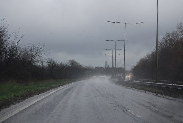
A wet and grey A13
The A13 is a major road linking the City of London with south Essex. Its route is similar to the route of the London, Tilbury and Southend Railway, and runs the entire length of the northern Thames Gateway area, terminating on the Thames Estuary at Shoeburyness. It is a Trunk Road as far as the Tilbury turn-off, a primary route between there and Sadlers Hall Farm near South Benfleet, and a non-primary route between there and Shoeburyness. Total length 41 miles.
Link
See other images of A13 Road
Link
See other images of A13 Road
 Map © Crown Copyright")
TIP: Click the map for more Large scale mapping
- Grid Square
- TQ7286, 17 images (more nearby 🔍)
- Photographer
- N Chadwick (more nearby)
- Date Taken
- Sunday, 4 March, 2012 (more nearby)
- Submitted
- Sunday, 29 April, 2012
- Subject Location
-
OSGB36:
 TQ 7212 8684 [10m precision]
WGS84: 51:33.2513N 0:28.8788E - Camera Location
-
OSGB36: TQ 7215 8685
- View Direction
- West-southwest (about 247 degrees)