2012
HP5704 : Houll at Vinstrick
taken 12 years ago, near to Underhoull, Unst, Shetland Islands, Scotland
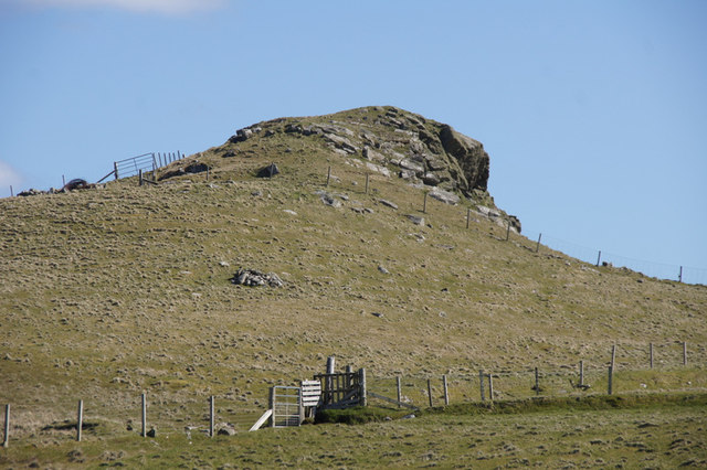
Houll at Vinstrick
This distinctively-shaped outcrop has no name that I know of, but the ruined croft house nearby, the drained loch below, and the headland near where this photo as taken from, are all called Vinstrick. A houll is a Shetland word for a small hill.
 Map © Crown Copyright")
TIP: Click the map for more Large scale mapping
- Grid Square
- HP5704, 131 images (more nearby 🔍)
- Photographer
- Mike Pennington (more nearby)
- Date Taken
- Sunday, 29 April, 2012 (more nearby)
- Submitted
- Sunday, 29 April, 2012
- Subject Location
-
OSGB36:
 HP 5737 0400 [10m precision]
WGS84: 60:42.9012N 0:57.0315W - Camera Location
-
OSGB36: HP 5723 0415
- View Direction
- Southeast (about 135 degrees)