2006
SX6249 : Claypark Plantation
taken 17 years ago, near to Holbeton, Devon, England
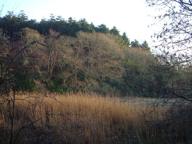
Claypark Plantation
A wood beside the Erme estuary, seen across reedbeds and marsh at the mouth of the side valley seen in SX6249 : Reedbed and marsh, below Holbeton.
 Map © Crown Copyright")
TIP: Click the map for more Large scale mapping
- Grid Square
- SX6249, 21 images (more nearby 🔍)
- Photographer
- Derek Harper (more nearby)
- Date Taken
- Saturday, 9 December, 2006 (more nearby)
- Submitted
- Monday, 11 December, 2006
- Subject Location
-
OSGB36:
 SX 625 499 [100m precision]
WGS84: 50:19.9763N 3:55.9999W - Camera Location
-
OSGB36: SX 624 498
- View Direction
- Northeast (about 45 degrees)