2006
TQ7838 : Fork in the road
taken 17 years ago, near to Sissinghurst, Kent, England
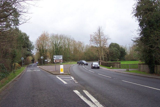
Fork in the road
Left to Sissinghurst, right to Cranbrook.
 Map © Crown Copyright")
TIP: Click the map for more Large scale mapping
- Grid Square
- TQ7838, 11 images (more nearby 🔍)
- Photographer
- Jonathan Billinger (more nearby)
- Date Taken
- Wednesday, 13 December, 2006 (more nearby)
- Submitted
- Friday, 15 December, 2006
- Subject Location
-
OSGB36:
 TQ 789 381 [100m precision]
WGS84: 51:6.8559N 0:33.2727E - Camera Location
-
OSGB36: TQ 789 382
- View Direction
- SOUTH (about 180 degrees)