2012
NZ1045 : View south from the bottom of Green Lane
taken 12 years ago, near to Butsfield, County Durham, England
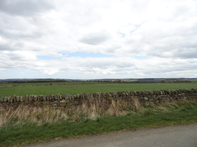
View south from the bottom of Green Lane
Looking from the junction of the lane with Butsfield Lane, just east of the hamlet. Lots of open farmland in this area, much of it pasture.
 Map © Crown Copyright")
TIP: Click the map for more Large scale mapping
- Grid Square
- NZ1045, 11 images (more nearby 🔍)
- Photographer
- Robert Graham (more nearby)
- Date Taken
- Monday, 16 April, 2012 (more nearby)
- Submitted
- Friday, 11 May, 2012
- Subject Location
-
OSGB36:
 NZ 1043 4504 [10m precision]
WGS84: 54:48.0079N 1:50.3571W - Camera Location
-
OSGB36: NZ 1041 4509
- View Direction
- South-southeast (about 157 degrees)