2012
SU2799 : A type 24
taken 12 years ago, near to Radcot, Oxfordshire, England
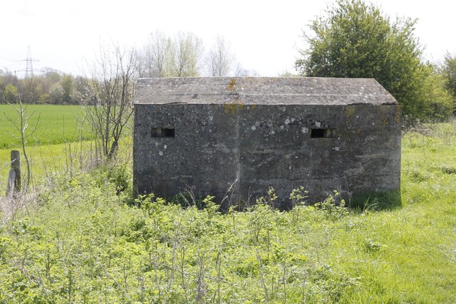
A type 24
Another of the type 24 pillboxes which seem to be so common in this part of the Thames near Grafton Lock.
 Map © Crown Copyright")
TIP: Click the map for more Large scale mapping
- Grid Square
- SU2799, 70 images (more nearby 🔍)
- Photographer
- Bill Nicholls (more nearby)
- Date Taken
- Sunday, 6 May, 2012 (more nearby)
- Submitted
- Wednesday, 16 May, 2012
- Subject Location
-
OSGB36:
 SU 2766 9909 [10m precision]
WGS84: 51:41.3933N 1:36.0755W - Camera Location
-
OSGB36: SU 27657 99102
- View Direction
- Southeast (about 135 degrees)