2006
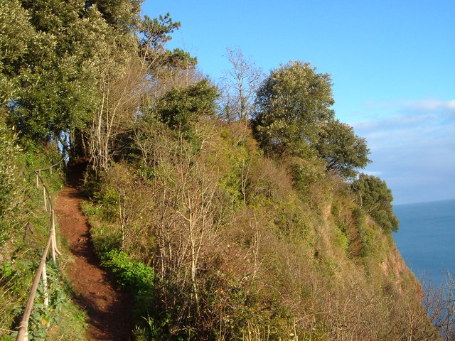
SX9267 : Goat path, Watcombe
taken 17 years ago, near to Maidencombe, Torbay, England
This is 1 of 2 images, with title Goat path, Watcombe in this square
Goat path, Watcombe
A reverse view of SX9267 : Goat path, Watcombe, with the South West Coast Path approaching the end of the cliff face, where it turns sharply north away from the Watcombe valley. The upper Holm Oak on the right is currently obscuring the view along the coast from the viewpoint beside it.
 Map © Crown Copyright")
TIP: Click the map for more Large scale mapping
- Grid Square
- SX9267, 215 images (more nearby 🔍)
- Photographer
- Derek Harper (more nearby)
- Date Taken
- Sunday, 17 December, 2006 (more nearby)
- Submitted
- Sunday, 17 December, 2006
- Subject Location
-
OSGB36:
 SX 925 676 [100m precision]
WGS84: 50:29.8984N 3:31.0237W - Camera Location
-
OSGB36: SX 925 676
- View Direction
- EAST (about 90 degrees)