2012
TL6959 : Stud Road
taken 12 years ago, near to Upend, Cambridgeshire, England
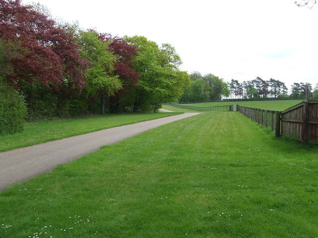
Stud Road
Stud road between the paddocks near to Upend, Cambridgeshire.
 Map © Crown Copyright")
TIP: Click the map for more Large scale mapping
- Grid Square
- TL6959, 13 images (more nearby 🔍)
- Photographer
- Keith Evans (more nearby)
- Date Taken
- Thursday, 17 May, 2012 (more nearby)
- Submitted
- Tuesday, 22 May, 2012
- Subject Location
-
OSGB36:
 TL 6967 5923 [10m precision]
WGS84: 52:12.3107N 0:28.8943E - Camera Location
-
OSGB36: TL 6960 5921
- View Direction
- East-northeast (about 67 degrees)