2012
SX7478 : Manaton: on Houndtor Down
taken 12 years ago, 3 km from Manaton, Devon, England
This is 1 of 3 images, with title Manaton: on Houndtor Down in this square
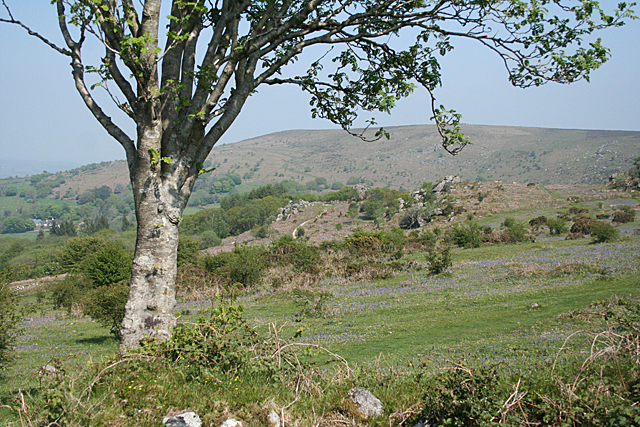
Manaton: on Houndtor Down
Looking towards Black Hill
 Map © Crown Copyright")
TIP: Click the map for more Large scale mapping
- Grid Square
- SX7478, 161 images (more nearby 🔍)
- Photographer
- Martin Bodman (more nearby)
- Date Taken
- Thursday, 24 May, 2012 (more nearby)
- Submitted
- Saturday, 26 May, 2012
- Subject Location
-
OSGB36:
 SX 7469 7868 [10m precision]
WGS84: 50:35.6614N 3:46.3072W - Camera Location
-
OSGB36: SX 7451 7862
- View Direction
- East-northeast (about 67 degrees)