2006
L7085 : Clare Island
taken 18 years ago, near to Clare Island, Clare, Co Mayo, Ireland
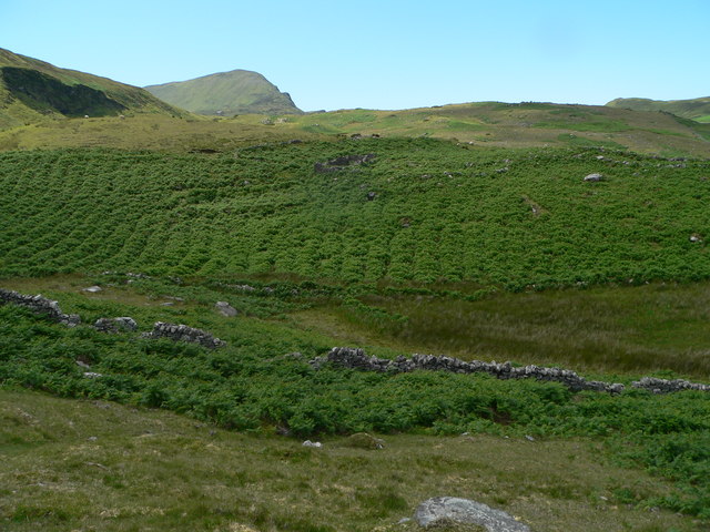
Clare Island.
Loading map... (JavaScript required)
- Grid Square
- L7085, 7 images (more nearby 🔍)
- Photographer
- Aiden Clarke (more nearby)
- Date Taken
- Sunday, 25 June, 2006 (more nearby)
- Submitted
- Wednesday, 20 December, 2006
- Subject Location
-
Irish:
 L 70 85 [1000m precision]
WGS84: 53:48.1829N 9:57.9802W - View Direction
- NORTH (about 0 degrees)