2012
NZ1720 : Nursery End, Ingleton
taken 12 years ago, near to Ingleton, County Durham, England
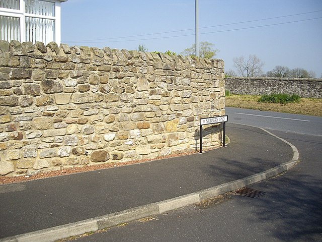
Nursery End, Ingleton
With walls of local stone much in evidence.
 Map © Crown Copyright")
TIP: Click the map for more Large scale mapping
- Grid Square
- NZ1720, 31 images (more nearby 🔍)
- Photographer
- Stanley Howe (more nearby)
- Date Taken
- Thursday, 24 May, 2012 (more nearby)
- Submitted
- Sunday, 27 May, 2012
- Subject Location
-
OSGB36:
 NZ 1757 2040 [10m precision]
WGS84: 54:34.7104N 1:43.7819W - Camera Location
-
OSGB36: NZ 1756 2040
- View Direction
- East-northeast (about 67 degrees)