2006
NY6265 : Throp Farm
taken 17 years ago, near to Gilsland, Northumberland, England
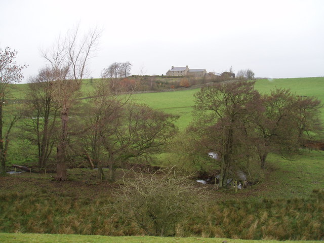
Throp Farm
Looking across to Throp Farm from near the Poltross Burn
 Map © Crown Copyright")
TIP: Click the map for more Large scale mapping
- Grid Square
- NY6265, 17 images (more nearby 🔍)
- Photographer
- Tim Fish (more nearby)
- Date Taken
- Wednesday, 22 November, 2006 (more nearby)
- Submitted
- Friday, 22 December, 2006
- Subject Location
-
OSGB36:
 NY 6278 6564 [10m precision]
WGS84: 54:59.0375N 2:34.9881W - Camera Location
-
OSGB36: NY 6288 6542
- View Direction
- North-northwest (about 337 degrees)